For articles by Marcel van den Broecke, see the essays section of the Ortelius background pages.
2015
Abraham Ortelius (1527–1598)
Life, Works, Sources and Friends
379 pages, large folio, including DVD with facsimiles of Album Amicorum (1598), Deorum Dearumque Capita, 2nd edition (1582) and text Sources and Friends, 444 pp. Illustrations: 4 in colour on dust jacket, and 293 b/w. ISBN 978-90-9029486-5.
€89.50An additional €5 for registered mail.
1996
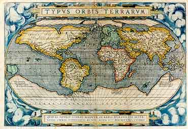
Ortelius Atlas Maps — An Illustrated Guide
Hardcover, 308 pages. Marcel P.R. van den Broecke. HES Publishers B.V., The Netherlands. ISBN 90 6194 308 6.
Price: €57
You can read book reviews on this first edition.